Aiken County, S.C.
Sandhills, Thoroughbreds, & Cotton Mills
Aiken County Maps
The maps used on these pages are in the public domain or where found in the archives of the USC Digital Archives Map Collection and are noted as "no copyright evaluation". Click on the images to open the larger full detailed map.
1827 Tanner's map of North and South Carolina.

Image credit: Wikimedia Commons License
1878 South Carolina Map.

Image credit: USC Digital Libraries Map Collection
c. 1939 Map from John Shaw Billings Scrapbook.
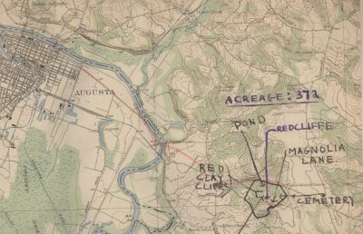
Image credit: USC Digital Libraries Map Collection
1895 Aiken County

1911 Aiken County

Quick Links: