|
Five Historic South Carolina Maps:
Illustrating the Formation of Marlboro County
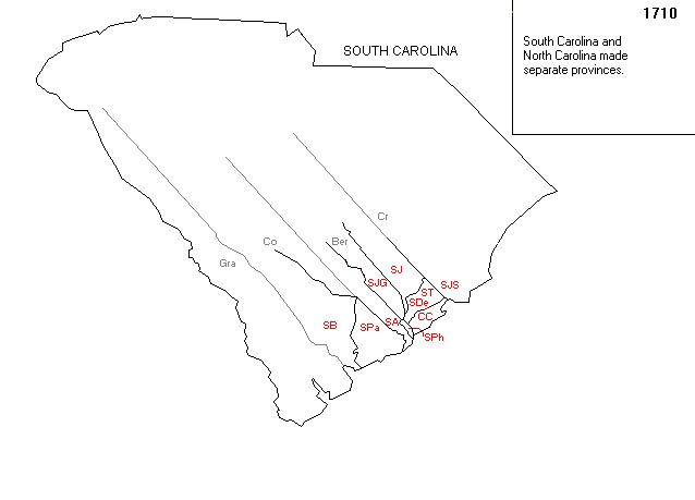
MAP ONE:
South Carolina in 1710 when Carolina was officially divided.
Note that Marlboro County was in the County of Craven
which extended from roughly north of Charleston to the North Carolina border.
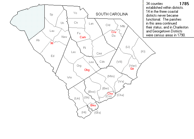
MAP TWO:
South Carolina at the establishment of counties within districts in 1785.
Note that Marlboro (Mlb) is contained within the Cheraws District (Crw).
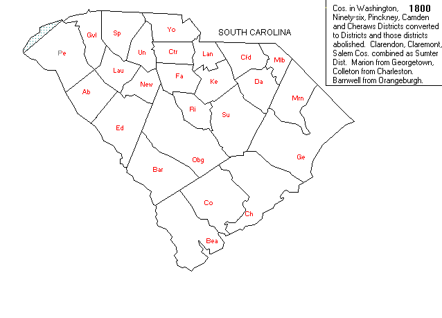
MAP THREE:
This map shows Marlboro District in 1800 after it was carved from Cheraws District in 1798.
These maps were created through the generosity of
Gold Bug Historic Maps & Software.
Visit their website
at http://www.goldbug.com for historic map reproductions, downloadable maps, product info
& demos, links to US and Canadian Geographic Servers and other interesting sites.
|